Mon Forest and South Fork of Cherry River
- Title
- Mon Forest and South Fork of Cherry River
- Description
-
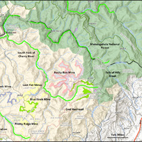
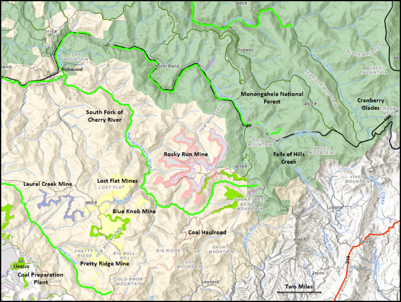
Map of the Mon Forest and South Fork of Cherry River. Surface coal mining is expanding in the mostly forested, high-elevation watershed of the South Fork of the Cherry River. This remote high-mountain area supports the candy darter, native brook trout, and remnant red spruce forest.
This map shows permitted coal operations in the South Fork of Cherry River watershed and adjacent areas within the proclamation boundary of the Monongahela National Forest. Critical habitat for the candy darter is highlighted in bright green. - Source
-
Coal Mining and Candy Darter Habitat, https://conservation-abra.hub.arcgis.com/pages/south-fork-cherry
- Site pages
- Legislation